|
©The Archaeological Settlements of Turkey - TAY Project
|
|
|
|
|
|
Çakilarasi Tepesi |
|
|
For site maps and drawings please click on the picture...  |
For photographs please click on the photo... 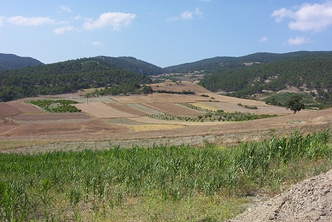 |
|
Type:
|
Mound |
|
Altitude:
|
405 m |
|
Region:
|
Marmara |
|
Province:
|
Bilecik |
|
District:
|
Osmaneli |
|
Village:
|
Çiftlik |
|
Investigation Method:
|
Survey |
|
Period:
|
|
|
|
|
 |
|
| It lies on a natural elevation to the immediate northeast of the Çiftlik Village, 4 km west of the Düzmece Village in the highlands to the northwest of Osmaneli. It measures 70 m in diameter, and 5.5 m in height. A settlement from the Classical Period was found on the southern slope of the mound and the lower plain ground during the survey conducted by T. Efe in the region in 1990. |
| Location: |
| Geography and Environment: |
| History: |
| Research and Excavation: |
| Stratigraphy: |
| Small Finds: |
| Remains: |
| Interpretation and Dating: |