|
©The Archaeological Settlements of Turkey - TAY Project
|
|
|
|
|
|
Cengerli |
|
|
For site maps and drawings please click on the picture...  |
For photographs please click on the photo... 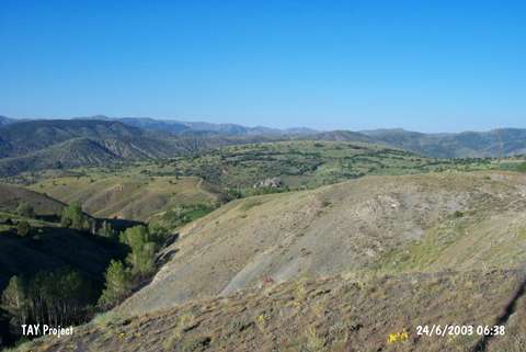 |
|
Type:
|
Flat Settlement |
|
Altitude:
|
1550 m |
|
Region:
|
Eastern Anatolia |
|
Province:
|
Erzincan |
|
District:
|
Refahiye |
|
Village:
|
Cengerli |
|
Investigation Method:
|
Survey |
|
Period:
|
Middle Iron Age |
|
|
|
 |
|
| It lies to the south of the Cengerli Village in the Refahiye District of Erzincan. It should have been one of the border posts of the Urartu Kingdom. This site is revisited in 2009 during a survey carried out by Y. Topaloğlu. The fort is built on two main rocks with a half-moon shaped open area. 13 rock steps are found on the East of the fort. A 7 by 7 m building is located on the east of the fort with scraped sides. An altar area is located on the main rock. A path was found opened on the Eastern side of the fort that was used to access the main rock. On the Northern part of the fort there is a single-room alcove rock tomb. The altitude of the fort is 1679 m which stands 50 m tall above the base [Topaloğlu et al. 2011:6]. |
| Location: |
| Geography and Environment: |
| History: |
| Research and Excavation: |
| Stratigraphy: |
| Small Finds: |
| Remains: |
| Interpretation and Dating: |