|
©The Archaeological Settlements of Turkey - TAY Project
|
|
|
|
|
|
Belevi Ikiztepe 1 |
|
|
For site maps and drawings please click on the picture...  |
For photographs please click on the photo... 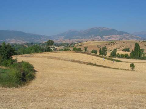 |
|
Type:
|
Mound |
|
Altitude:
|
445 m |
|
Region:
|
Black Sea |
|
Province:
|
Amasya |
|
District:
|
Tasova |
|
Village:
|
Belevi |
|
Investigation Method:
|
Survey |
|
Period:
|
Late Iron Age |
|
|
|
 |
|
| It lies 1.5 km northwest of Belevi Sub-District; northeast of Amasya Province. It measures ca. 10 m in height, and 100x70 m in dimensions. Sherds collected from the surface are dated to Early Bronze Age, Late Iron Age, Hellenistic Period, Roman Period and Byzantine Period. |
| Location: |
| Geography and Environment: |
| History: |
| Research and Excavation: |
| Stratigraphy: |
| Small Finds: |
| Remains: |
| Interpretation and Dating: |