|
©The Archaeological Settlements of Turkey - TAY Project
|
|
|
|
|
|
Bacas Tepe |
|
|
For site maps and drawings please click on the picture...  |
For photographs please click on the photo... 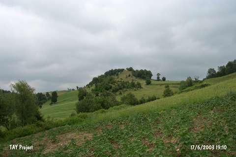 |
|
Type:
|
Upland Settlement |
|
Altitude:
|
m |
|
Region:
|
Black Sea |
|
Province:
|
Samsun |
|
District:
|
Havza |
|
Village:
|
Yazikisla |
|
Investigation Method:
|
Survey |
|
Period:
|
|
|
|
|
 |
|
| It is a slope settlement resting on a natural elevation, 1.5 km southeast of the Yazikisla Village, northwest of Samsun. Based on the distribution of sherds, it covers an area around 50x100 m. It was discovered by a team under the direction of U.B. Alkim in 1973. Sherds from the EBA, Iron Age and Late Roman Period were collected from the surface. |
| Location: |
| Geography and Environment: |
| History: |
| Research and Excavation: |
| Stratigraphy: |
| Small Finds: |
| Remains: |
| Interpretation and Dating: |