|
©The Archaeological Settlements of Turkey - TAY Project
|
|
|
|
|
|
Babaköy |
|
|
For site maps and drawings please click on the picture... 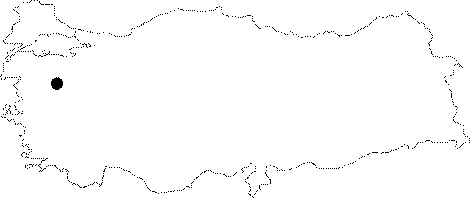 |
For photographs please click on the photo...  |
|
Type:
|
Cemetery |
|
Altitude:
|
450 m |
|
Region:
|
Marmara |
|
Province:
|
Balikesir |
|
District:
|
Bigadiç |
|
Village:
|
Babaköy |
|
Investigation Method:
|
Excavation |
|
Period:
|
Classical |
|
|
|
 |
|
| It lies 4 km north of Babaköy, approximately 9-10 km northwest of Bigadic, south-southeast of Balikesir. It is ca. 50 km far from the Yortan-Gelembe Cemetery. K. Kökten refers to the cemetery area as Babaköy Baspinar. Excavations revealed that the Babaköy Cemetery belongs to the Early Bronze Age. K. Kökten mentions the presence of a cemetery from the Classical Period next to the Babaköy Cemetery and a flat settlement covering a large area. |
| Location: It is situated 4 km north of the Babaköy Village; 9-10 km northwest of the Bigadiç District; south-southeast of the Balikesir Province. It is about 50 km far from the cemetery of Yortan-Gelembe. Kökten named the cemetery as Babaköy Baspinar. |
| Geography and Environment: The cemetery; severely damaged; was established on a triangular highland at Baspinar Mevkii; west of the Kazandere which flows into the Simav Çayi. The area is wider on the north and northeast directions. The cemetery covers an area of 80x35 m including the unexcavated areas; it is believed to contain around 150 pieces of pithos [Özgüç 1948:52]. The graves that were revealed were lined up in two sections. No pithos graves were placed in the center. The limestone on the surface of the center probably did not allow any digging in that area. |
| History: |
| Research and Excavation: |
| Stratigraphy: |
| Small Finds: |
| Remains: |
| Interpretation and Dating: |