|
©The Archaeological Settlements of Turkey - TAY Project
|
|
|
|
|
|
Asagibaglar / Tokullu |
|
|
For site maps and drawings please click on the picture...  |
For photographs please click on the photo... 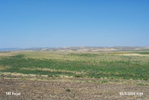 |
|
Type:
|
Mound |
|
Altitude:
|
605 m |
|
Region:
|
Central Anatolia |
|
Province:
|
Çorum |
|
District:
|
Sungurlu |
|
Village:
|
Tokullu |
|
Investigation Method:
|
Survey |
|
Period:
|
Early Iron Age Middle Iron Age Late Iron Age |
|
|
|
 |
|
| It lies 1 km north of Tokullu Village; northwest of Sungurlu; southwest of Çorum Province. With a dimension around 150x200 m, this mound-like settlement has been destroyed as a result of ploughing for many years. Traces of fire are observed in some sections. According to the information provided by the land owner, a Hittite seal which was uncovered here was delivered to the Museum of Anatolian Civilizations in 1971, but the item was recorded as originated from Kavsut in the document submitted to the related person. Sherds collected from the surface of Asagibaglar are dated to the EBA, Hittite Period, Iron Age and Roman Period. Also fragments of terracotta sarcophagus collected from the fields between Asagibaglar and Tokullu indicate the presence of a Roman necropolis in that section. |
| Location: |
| Geography and Environment: |
| History: |
| Research and Excavation: |
| Stratigraphy: |
| Small Finds: |
| Remains: |
| Interpretation and Dating: |