|
©The Archaeological Settlements of Turkey - TAY Project
|
|
|
|
|
|
Dutluca |
|
|
For site maps and drawings please click on the picture...  |
For photographs please click on the photo... 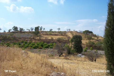 |
|
Type:
|
Mound |
|
Altitude:
|
890 m |
|
Region:
|
Aegean |
|
Province:
|
Usak |
|
District:
|
Ulubey |
|
Village:
|
Dutluca |
|
Investigation Method:
|
Survey |
|
Period:
|
EBA II EBA III |
|
|
|
 |
|
| It lies about 500 m west of the village cemetery; south of Dutluca / Tutluca Village; 21.5 km south of Usak Province. To the west flows a stream originating from Usak and joining the Banaz stream near Ulubey. It is right across the Köseler Höyük. To the southwest is another mound known as Ada Höyük. D. H. French evaluated the material collected from the surface and identified it as a Beycesultan EBA II and III settlement. |
| Location: |
| Geography and Environment: |
| History: |
| Research and Excavation: |
| Stratigraphy: |
| Small Finds: |
| Remains: |
| Interpretation and Dating: |