|
©The Archaeological Settlements of Turkey - TAY Project
|
|
|
|
|
|
Araplar |
|
|
For site maps and drawings please click on the picture...  |
For photographs please click on the photo... 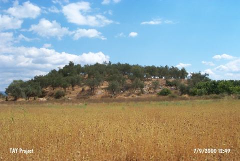 |
|
Type:
|
Mound |
|
Altitude:
|
40 m |
|
Region:
|
Aegean |
|
Province:
|
Balikesir |
|
District:
|
Edremit |
|
Village:
|
Yolören |
|
Investigation Method:
|
Survey |
|
Period:
|
|
|
|
|
 |
|
| It is a big mound located near the Yolören Village (Araplar), 4 km west of the Edremit District in Balikesir. It is also known as Araplar Üyücek or Arapli Höyük. It lies 300-400 m southeast of the motorway, south of the Mount Ida. In the northeastern section lie the remains of a 6-7 m long wall, and a fortification system of stones. It was discovered during the Balikesir survey conducted in 1987 by M. Ozdogan. Material from the all EBA levels and Ancient Age were collected from the surface. |
| Location: |
| Geography and Environment: |
| History: |
| Research and Excavation: |
| Stratigraphy: |
| Small Finds: |
| Remains: |
| Interpretation and Dating: |