|
©The Archaeological Settlements of Turkey - TAY Project
|
|
|
|
|
|
Altikulaç Kalesi |
|
|
For site maps and drawings please click on the picture...  |
For photographs please click on the photo... 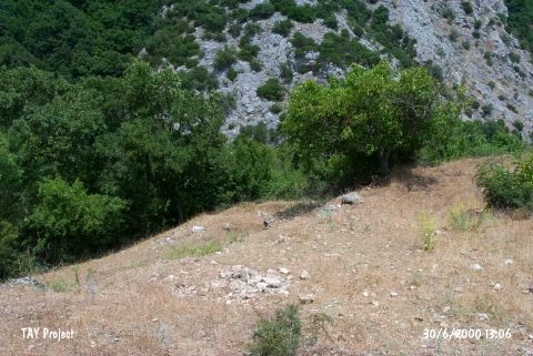 |
|
Type:
|
Mound |
|
Altitude:
|
137 m |
|
Region:
|
Marmara |
|
Province:
|
Çanakkale |
|
District:
|
Çan |
|
Village:
|
Altikulaç |
|
Investigation Method:
|
Survey |
|
Period:
|
Classical |
|
|
|
 |
|
| It lies about 2 km north of the Can-Biga motorway, east of the Çan District in Çanakkale. A survey was conducted in the region by N. Arslan et al. of the Çanakkale Onsekiz Mart University in 2002. The survey revealed 25 m long foundation remains made of cutstones in the Altikulaç Village. The wall was erected as dry stone wall of ca. 0.75-1 m cutstones, superimposed on each other with step-like profiles. Based on the wall thickness, it can be considered as remains of a building belonging to the ruling class rather than a fortification. The masonry is comparable with the masonry of the Classical Age [Arslan 2004:119-120]. |
| Location: |
| Geography and Environment: |
| History: |
| Research and Excavation: |
| Stratigraphy: |
| Small Finds: |
| Remains: |
| Interpretation and Dating: |