|
©The Archaeological Settlements of Turkey - TAY Project
|
|
|
|
|
|
Alibey |
|
|
For site maps and drawings please click on the picture...  |
For photographs please click on the photo... 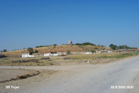 |
|
Type:
|
Mound |
|
Altitude:
|
1130 m |
|
Region:
|
Central Anatolia |
|
Province:
|
Konya |
|
District:
|
Çumra |
|
Village:
|
Alibeyhüyügü |
|
Investigation Method:
|
Survey |
|
Period:
|
|
|
|
|
 |
|
| The mound lies south of Konya-Karaman motorway; in Alibeyhöyügü Town west-southwest of Çumra District of Konya Province. It was investigated during the survey on the Central Anatolian mounds conducted by A.S. Güneri in 1986. Sherds from the 1st Millennium BC were recovered from the settlement. It takes place in the registered archaeological sites list prepared by Ministry of Culture and Tourism. |
| Location: |
| Geography and Environment: |
| History: |
| Research and Excavation: |
| Stratigraphy: |
| Small Finds: |
| Remains: |
| Interpretation and Dating: |