|
©The Archaeological Settlements of Turkey - TAY Project
|
|
|
|
|
|
Adilcevaz / Kümbet Höyük |
|
|
For site maps and drawings please click on the picture...  |
For photographs please click on the photo... 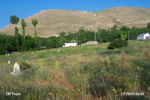 |
|
Type:
|
Upland Settlement |
|
Altitude:
|
1800 m |
|
Region:
|
Eastern Anatolia |
|
Province:
|
Bitlis |
|
District:
|
Adilcevaz |
|
Village:
|
Merkez |
|
Investigation Method:
|
Survey |
|
Period:
|
Middle Iron Age |
|
|
|
 |
|
| It lies 400 m north-northwest of the primary school; 750 m north of the centrum of the district in the middle quarter of Adilcevaz District; on the northern shore of the Lake Van; northeast of Bitlis Province. It was discovered by C.A. Burney. The mound, which measures ca. 150x100 m in dimensions, has been completely obscured by a cemetery at present. Due to large quantity of graves, a limited number of sherds from the Early Transcaucasian, Middle Iron Age and Middle Age were collected only from the skirts of the mound. It takes place in the registered archaeological sites list prepared by Ministry of Culture and Tourism. |
| Location: |
| Geography and Environment: |
| History: |
| Research and Excavation: |
| Stratigraphy: |
| Small Finds: |
| Remains: |
| Interpretation and Dating: |