|
©The Archaeological Settlements of Turkey - TAY Project
|
|
|
|
|
|
Acipinar |
|
|
For site maps and drawings please click on the picture...  |
For photographs please click on the photo... 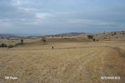 |
|
Type:
|
Flat Settlement |
|
Altitude:
|
1050 m |
|
Region:
|
Black Sea |
|
Province:
|
Tokat |
|
District:
|
Zile |
|
Village:
|
Acipinar |
|
Investigation Method:
|
Survey |
|
Period:
|
|
|
|
|
 |
|
| It lies 1.4 km to the north of the Acipinar Village, 40 km to the southwest of Zile. The mound has been cultivated. It measures 90 m in diameter, and 4 m in height. Sherds from the settlements of the 2nd Millennium BC and Iron Age are observed on the surface as well as the Bronze Age. |
| Location: |
| Geography and Environment: |
| History: |
| Research and Excavation: |
| Stratigraphy: |
| Small Finds: |
| Remains: |
| Interpretation and Dating: |