|
©The Archaeological Settlements of Turkey - TAY Project
|
|
|
|
|
|
Duantepe |
|
|
For site maps and drawings please click on the picture... 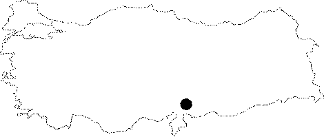 |
For photographs please click on the photo...  |
|
Type:
|
Single Findspot |
|
Altitude:
|
m |
|
Region:
|
Mediterranean |
|
Province:
|
Gaziantep |
|
District:
|
Nurdagi |
|
Village:
|
Sakçagözü |
|
Investigation Method:
|
Survey |
|
Period:
|
OP |
|
|
|
 |
|
| Location: This site lies on a hill west of the city of Gaziantep; approximately 6 km northwest of the old town of Keferdiz now known as Sakçegözü (Sakçagözü). On a 1:100;000 map this hill is referred to as Duantepe (Duvantepe). |
| Geography and Environment: West of the hill known as Duantepe; which is a natural basalt outcrop; are some large stone foundations. The town of Sakçagözü lies on a slightly undulating low lying plain. The area is rich in water sources. There are seasonal streams which spring from the southern and northern faces of the hill. It is suspected that the vegetation and especially the woodlands were quite different in the Palaeolithic. |
| History: |
| Research and Excavation: J. Perrot conducted a surface survey on Duantepe in 1961. Because Perrot did not use systematic survey techniques; we are not informed about artifact densities. |
| Stratigraphy: |
| Small Finds: The numerous flint tools found on the surface of the hill were compared with those found on the low-lying plain. Perrot reports that all the tools are Moustérien. [Perrot 1962:15; fig.4;8]. A detailed report on these finds has not yet been published. |
| Remains: |
| Interpretation and Dating: |