|
©The Archaeological Settlements of Turkey - TAY Project
|
|
|
|
|
|
Dönbektepe |
|
|
For site maps and drawings please click on the picture...  |
For photographs please click on the photo... 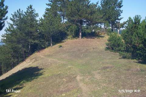 |
|
Type:
|
Mound |
|
Altitude:
|
1010 m |
|
Region:
|
Black Sea |
|
Province:
|
Sinop |
|
District:
|
Gerze |
|
Village:
|
Sarimsak |
|
Investigation Method:
|
Survey |
|
Period:
|
|
|
|
|
 |
|
| It is 3 km far from the Sarimsak Village exit on the Boyali-Sarimsak road; southeast of Sinop Province. To its west-southwest is the village and stream of Sarimsak; north-northwest the village of Sazak; south Kalas Mountain; and east-southeast Sula Köyü stream. It was discovered in 1987 during the Sinop Survey conducted by M.A. Isin. It measures 4 m in height and 60x35 m in dimensions. It has been damaged due to illicit digging. Limited number of EBA sherds was recovered. Also; stone foundations which may relate to the architectural constructions and remains of dwellings built in wattle and daub technique were uncovered. |
| Location: |
| Geography and Environment: |
| History: |
| Research and Excavation: |
| Stratigraphy: |
| Small Finds: |
| Remains: |
| Interpretation and Dating: |