|
©The Archaeological Settlements of Turkey - TAY Project
|
|
|
|
|
|
Dökmetepe |
|
|
For site maps and drawings please click on the picture...  |
For photographs please click on the photo... 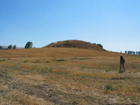 |
|
Type:
|
Mound |
|
Altitude:
|
530 m |
|
Region:
|
Black Sea |
|
Province:
|
Amasya |
|
District:
|
Merkez |
|
Village:
|
Kayabasi |
|
Investigation Method:
|
Survey |
|
Period:
|
|
|
|
|
 |
|
| It lies 4 km west of Kayabasi; north of Çekerek Valley; south of the Amasya-Çorum highway; southwest of Amasya Province. It was discovered in 1986 during a survey conducted by M. Özsait. It measures 10 m in height and 80x100 m in dimensions. Black and red washed EBA pottery with a fine grit and straw-tempered paste was collected from the surface. Also found are flintstone blades. |
| Location: |
| Geography and Environment: |
| History: |
| Research and Excavation: |
| Stratigraphy: |
| Small Finds: |
| Remains: |
| Interpretation and Dating: |