|
©The Archaeological Settlements of Turkey - TAY Project
|
|
|
|
|
|
Akgün Höyük |
|
|
For site maps and drawings please click on the picture...  |
For photographs please click on the photo... 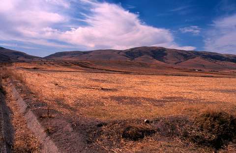 |
|
Type:
|
Mound |
|
Altitude:
|
1155 m |
|
Region:
|
Aegean |
|
Province:
|
Afyonkarahisar |
|
District:
|
Dinar |
|
Village:
|
Akgün |
|
Investigation Method:
|
Survey |
|
Period:
|
EBA II |
|
|
|
 |
|
| The site is located on the Çölovasi plain; north of the Lake Karakuyu; northeast of Dinar; south-southwest of Afyonkarahisar Province. It lies 500 m west of the village of Akgün in the district of Dinar. It is included in EBA II settlements; but illustrated only with a dot in the guide of the Afyon Archaeological Museum without further information. It takes place in the registered archaeological sites list prepared by Ministry of Culture and Tourism. |
| Location: |
| Geography and Environment: |
| History: |
| Research and Excavation: |
| Stratigraphy: |
| Small Finds: |
| Remains: |
| Interpretation and Dating: |