|
©The Archaeological Settlements of Turkey - TAY Project
|
|
|
|
|
|
Domuz Tepe |
|
|
For site maps and drawings please click on the picture...  |
For photographs please click on the photo... 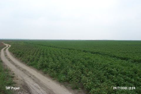 |
|
Type:
|
Mound |
|
Altitude:
|
50 m |
|
Region:
|
Mediterranean |
|
Province:
|
Adana |
|
District:
|
Karatas |
|
Village:
|
Develiören |
|
Investigation Method:
|
Survey |
|
Period:
|
Middle |
|
|
|
 |
|
| It lies 35 km southwest of Misis; southeast of Adana Province [Harmankaya et al. 1997:Domuz Tepe]. It is situated 200 m far from the eastern bank of the Ceyhan River. It is reported to be 12 km far from today's coast. It was excavated by the Tarsus Amerikan Survey team. It is one of the major settlements of the Chalcolithic Age. Sherds of straw-tempered coarse ware dating from the EBA were collected from the surface by M.V. Seton-Williams while sherds of metallic ware were recovered by J. Mellaart. |
| Location: |
| Geography and Environment: |
| History: |
| Research and Excavation: |
| Stratigraphy: |
| Small Finds: |
| Remains: |
| Interpretation and Dating: |