|
©The Archaeological Settlements of Turkey - TAY Project
|
|
|
|
|
|
Domuz Tepe |
|
|
For site maps and drawings please click on the picture...  |
For photographs please click on the photo... 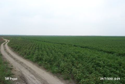 |
|
Type:
|
Mound |
|
Altitude:
|
50 m |
|
Region:
|
Mediterranean |
|
Province:
|
Adana |
|
District:
|
Karatas |
|
Village:
|
Develiören |
|
Investigation Method:
|
Survey |
|
Period:
|
Ceramic |
|
|
|
 |
|
| This site lies southeast of the city of Adana; approximately 35 km southwest of Misis; 200 km east of the Ceyhan River and 12 km from the Mediterranean shore; today. The mound; 20 m high and 100x150 m large; partially overlies a limestone outcrop. In order to avoid confusion with the site of Kadirli Domuztepe; we have called this site Domuz Tepe. A small test trench opened by H. Goldman of the Tarsus American Research Institute and the surface survey lead by M.V. Seton-Williams in 1951 both suggest that the site was settled from the Chalcolithic to the Medieval Period. The mound yielded Pre-Halaf; transitional painted pottery. The ceramics show Amuq B affinities and resemble the pottery from Mersin Yumuktepe XXV-XXIV. It is believed that there is a Late Neolithic-Early Chalcolithic settlement at the site. In ASPRO; the site has been dated to the Middle Chalcolithic Period. |
| Location: |
| Geography and Environment: |
| History: |
| Research and Excavation: |
| Stratigraphy: |
| Small Finds: |
| Remains: |
| Interpretation and Dating: |