|
©The Archaeological Settlements of Turkey - TAY Project
|
|
|
|
|
|
Dolmatepe |
|
|
For site maps and drawings please click on the picture...  |
For photographs please click on the photo... 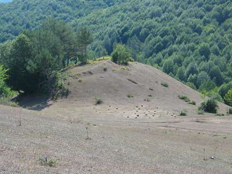 |
|
Type:
|
Mound |
|
Altitude:
|
1010 m |
|
Region:
|
Black Sea |
|
Province:
|
Amasya |
|
District:
|
Gümüshaciköy |
|
Village:
|
Alan |
|
Investigation Method:
|
Survey |
|
Period:
|
|
|
|
|
 |
|
| It is located in Alan Village on the border of Ladik-Tasova. It lies to the south-southwest of Tasikdag and west-northwest of The village of Büyükalan. Üçgözler stream flows from its east to south. Sherds dating from the EBA were recovered during the surface collection. |
| Location: |
| Geography and Environment: |
| History: |
| Research and Excavation: |
| Stratigraphy: |
| Small Finds: |
| Remains: |
| Interpretation and Dating: |