|
©The Archaeological Settlements of Turkey - TAY Project
|
|
|
|
|
|
Akdegirmen |
|
|
For site maps and drawings please click on the picture...  |
For photographs please click on the photo... 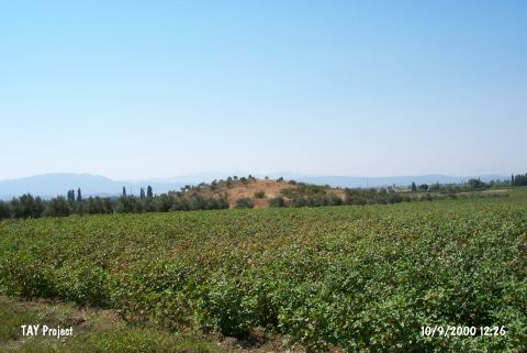 |
|
Type:
|
Mound |
|
Altitude:
|
50 m |
|
Region:
|
Aegean |
|
Province:
|
Manisa |
|
District:
|
Akhisar |
|
Village:
|
Akselendi |
|
Investigation Method:
|
Survey |
|
Period:
|
Late |
|
|
|
 |
|
| The mound lies northeast of Manisa; south-southeast of Akhisar; approximately 4 km north of Akselendi; 750 m northwest of the Ilicaksu fresh water spring; 500 m southwest of the road from Akhisar to Gölmarmara. In 1995; a black slipped; burnished bowl with white incrustation was found by R. Dinç. According to him; this potsherd resembles those from Beycesultan; and dates back to the Late Chalcolithic Age. In addition; sherds of sand; quartz; and mica-tempered; red; brown; red mottled slipped burnished ware were found. EBA and MBA material was also obtained from this mound. It was researched again by E. Akdeniz et al. in 2007 and its dimensions were measured as 100x80 m and 6 m high. It contains Chalcolithipc Age and EBA sherds [Akdeniz 2009:258]. It was visited again by E. Akdeniz in 2008 and its dimensions were recorded as 90x50 m. Akdeniz named the mound Tepetarla [Akdeniz 2010:154]. |
| Location: |
| Geography and Environment: |
| History: |
| Research and Excavation: |
| Stratigraphy: |
| Small Finds: |
| Remains: |
| Interpretation and Dating: |