|
©The Archaeological Settlements of Turkey - TAY Project
|
|
|
|
|
|
Devserkaya Tepesi |
|
|
For site maps and drawings please click on the picture...  |
For photographs please click on the photo... 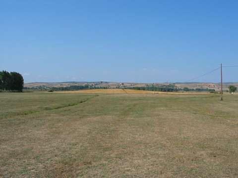 |
|
Type:
|
Mound |
|
Altitude:
|
900 m |
|
Region:
|
Black Sea |
|
Province:
|
Samsun |
|
District:
|
Ladik |
|
Village:
|
Asagigölyazi |
|
Investigation Method:
|
Survey |
|
Period:
|
|
|
|
|
 |
|
| It lies approximately 800 m northwest of the village of Asagi Gölyazi; east of the district of Ladik in the province of Samsun. It is located on the westen shore of Lake Ladik. The surface of this low nd shallow mound is being cultivated. It was discovered by U. B. Alkim and dated to EBA. The mound appears in the Samsun Culture Inventory which was achieved after the surveys organized by the Samsun Special Provincial Administration Directorship of Development and Construction in 2009.It is about 100x200 m in dimension and 3 m in height. |
| Location: |
| Geography and Environment: |
| History: |
| Research and Excavation: |
| Stratigraphy: |
| Small Finds: |
| Remains: |
| Interpretation and Dating: |