|
©The Archaeological Settlements of Turkey - TAY Project
|
|
|
|
|
|
Deruk |
|
|
For site maps and drawings please click on the picture...  |
For photographs please click on the photo... 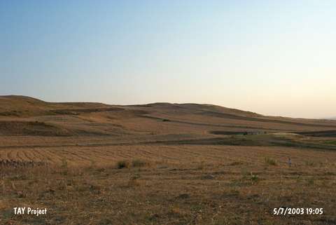 |
|
Type:
|
Slope Settlement |
|
Altitude:
|
1020 m |
|
Region:
|
Southeastern Anatolia |
|
Province:
|
Siirt |
|
District:
|
Kurtalan |
|
Village:
|
Konakpinar |
|
Investigation Method:
|
Survey |
|
Period:
|
|
|
|
|
 |
|
| The site lies 29.5 km west of Siirt; 7.5 km west of Kurtalan; 1.8 km west of Konakpınar (Ayinkasir) Village; on the northwestern foots of Kozdag. Konakpinar Village is east-southeast of the mound and to the north Batman-Kurtalan motorway passes. There are remains of an old Armenian village and a spring near the site. It was discovered during the Southeastern Anatolia Survey in 1963. Probably; Ubaid ceramics were collected from the surface. The dimensions are not given due to the distribution of the pottery. It is known as "Derok" on the M 47 section of the 1:100000 map. The location code of the site is S 63 / 3. |
| Location: |
| Geography and Environment: |
| History: |
| Research and Excavation: |
| Stratigraphy: |
| Small Finds: |
| Remains: |
| Interpretation and Dating: |