|
©The Archaeological Settlements of Turkey - TAY Project
|
|
|
|
|
|
Dericik 1 |
|
|
For site maps and drawings please click on the picture...  |
For photographs please click on the photo... 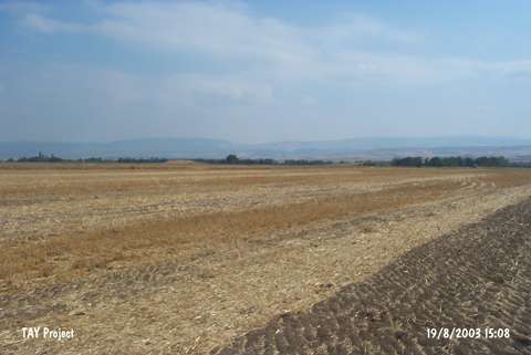 |
|
Type:
|
Upland Settlement |
|
Altitude:
|
610 m |
|
Region:
|
Black Sea |
|
Province:
|
Amasya |
|
District:
|
Merzifon |
|
Village:
|
Hayrettin |
|
Investigation Method:
|
Survey |
|
Period:
|
|
|
|
|
 |
|
| It is located 1 km northeast of Hayrettin Village; 8 km southwest of Merzifon; northwest of Amasya Province. It is a natural hill. It measures 5 m in height and 150-200 m in diameter At present; it has been cultivated. The survey conducted by M. Özsait and his team in 1998 yielded sherds dating from the EBA and the second millennium BC. It takes place in the registered archaeological sites list prepared by Ministry of Culture and Tourism. |
| Location: |
| Geography and Environment: |
| History: |
| Research and Excavation: |
| Stratigraphy: |
| Small Finds: |
| Remains: |
| Interpretation and Dating: |