|
©The Archaeological Settlements of Turkey - TAY Project
|
|
|
|
|
|
Dereköy 2 |
|
|
For site maps and drawings please click on the picture...  |
For photographs please click on the photo... 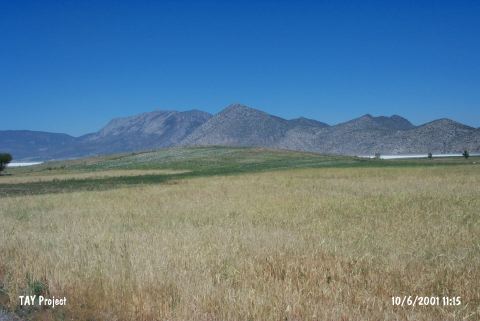 |
|
Type:
|
Mound |
|
Altitude:
|
950 m |
|
Region:
|
Mediterranean |
|
Province:
|
Burdur |
|
District:
|
Yesilova |
|
Village:
|
Dereköy |
|
Investigation Method:
|
Survey |
|
Period:
|
|
|
|
|
 |
|
| It lies approximately 2 km north of Dereköy Village; north of Yesilova District of Burdur Province. Southeast of the mound lies the site of Dereköy 1. It was discovered by D. French and dated to EBA. It takes place in the registered archaeological sites list prepared by Ministry of Culture and Tourism. |
| Location: |
| Geography and Environment: |
| History: |
| Research and Excavation: |
| Stratigraphy: |
| Small Finds: |
| Remains: |
| Interpretation and Dating: |