|
©The Archaeological Settlements of Turkey - TAY Project
|
|
|
|
|
|
Dereköy 1 |
|
|
For site maps and drawings please click on the picture...  |
For photographs please click on the photo... 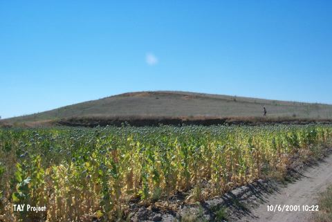 |
|
Type:
|
Mound |
|
Altitude:
|
990 m |
|
Region:
|
Mediterranean |
|
Province:
|
Burdur |
|
District:
|
Yesilova |
|
Village:
|
Dereköy |
|
Investigation Method:
|
Survey |
|
Period:
|
|
|
|
|
 |
|
| This site lies southwest of the city of Burdur; approximately 18 km north of the town of Yesilova; 2 km northwest of the village of Dereköy and 800 m south-southeast of Çorak Lake (also known as Akgöl Lake). The site was discovered by B. Pace and then revisited by J. Mellaart and then M. Özsait. The site takes place at the map prepared by Mellaart; which shows the EBA settelements of the region. It takes place in the registered archaeological sites list prepared by Ministry of Culture and Tourism. |
| Location: |
| Geography and Environment: |
| History: |
| Research and Excavation: |
| Stratigraphy: |
| Small Finds: |
| Remains: |
| Interpretation and Dating: |