|
©The Archaeological Settlements of Turkey - TAY Project
|
|
|
|
|
|
Dereköy 1 |
|
|
For site maps and drawings please click on the picture...  |
For photographs please click on the photo... 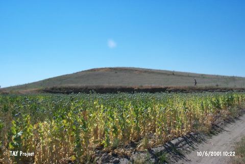 |
|
Type:
|
Mound |
|
Altitude:
|
990 m |
|
Region:
|
Mediterranean |
|
Province:
|
Burdur |
|
District:
|
Yesilova |
|
Village:
|
Dereköy |
|
Investigation Method:
|
Survey |
|
Period:
|
Late Early |
|
|
|
 |
|
| This site lies southwest of the city of Burdur; approximately 18 km north of the town of Yesilova; 2 km northwest of the village of Dereköy and 800 m south-southeast of Çorak Lake (also known as Akgöl Lake). The site was researched by B. Pace; J. Mellaart and M. Özsait. Sherds; probably dating to the 1st and 2nd phases of Late Chalcolithic Age; are interrelated with the layers above the Early Chalcolithic Age layers of Hacilar. One painted vessel dating to the Late Chalcolithic Age (?) resembles Kusura A; besides the Late Neolithic-Early Chalcolithic Age sherds. It takes place in the registered archaeological sites list prepared by Ministry of Culture and Tourism. |
| Location: |
| Geography and Environment: |
| History: |
| Research and Excavation: |
| Stratigraphy: |
| Small Finds: |
| Remains: |
| Interpretation and Dating: |