|
©The Archaeological Settlements of Turkey - TAY Project
|
|
|
|
|
|
Dereagil |
|
|
For site maps and drawings please click on the picture...  |
For photographs please click on the photo... 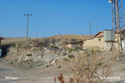 |
|
Type:
|
Mound |
|
Altitude:
|
525 m |
|
Region:
|
Black Sea |
|
Province:
|
Amasya |
|
District:
|
Suluova |
|
Village:
|
Yüzbeyi |
|
Investigation Method:
|
Survey |
|
Period:
|
|
|
|
|
 |
|
| It is located southwest of the Dereagil Quarter of Yüzbeyi Village; west of Amasya Province. It lies between Keltepe and Yassiçal ridges. It was discovered in 1987 during a survey conducted by M. Özsait. It has been damaged due to road construction. Pottery of the Chalcolithic Age and the EBA was collected from the surface and damaged sections. |
| Location: |
| Geography and Environment: |
| History: |
| Research and Excavation: |
| Stratigraphy: |
| Small Finds: |
| Remains: |
| Interpretation and Dating: |