|
©The Archaeological Settlements of Turkey - TAY Project
|
|
|
|
|
|
Dereagil |
|
|
For site maps and drawings please click on the picture...  |
For photographs please click on the photo... 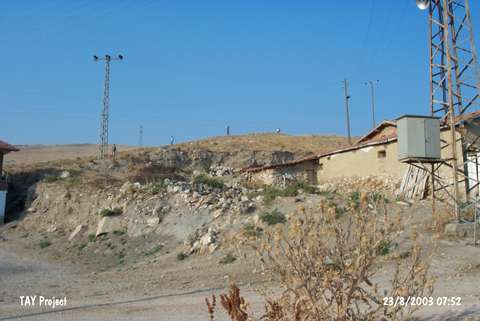 |
|
Type:
|
Mound |
|
Altitude:
|
525 m |
|
Region:
|
Black Sea |
|
Province:
|
Amasya |
|
District:
|
Suluova |
|
Village:
|
Yüzbeyi |
|
Investigation Method:
|
Survey |
|
Period:
|
|
|
|
|
 |
|
| The small mound is located northwest of Amasya; between Keltepe and Yassiçal hillsides; southwest of Dereagil quarter of Yüzbeyi village. It lies between Keltepe and Yassiçal ridges. The northern part is slightly damaged because of the road. It was discovered during the Survey conducted by M. Özsait in 1987. Sherds in various wares; black colored on the exterior; buff colored on the interior; dark gray colored on both sides; and buff colored on both sides; slipped; were recovered. The finds date to the Chalcolithic Age. |
| Location: |
| Geography and Environment: |
| History: |
| Research and Excavation: |
| Stratigraphy: |
| Small Finds: |
| Remains: |
| Interpretation and Dating: |