|
©The Archaeological Settlements of Turkey - TAY Project
|
|
|
|
|
|
Demirtas |
|
|
For site maps and drawings please click on the picture...  |
For photographs please click on the photo... 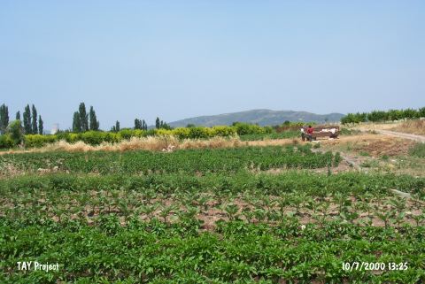 |
|
Type:
|
Mound |
|
Altitude:
|
180 m |
|
Region:
|
Marmara |
|
Province:
|
Bursa |
|
District:
|
Merkez |
|
Village:
|
Demirtas |
|
Investigation Method:
|
Survey |
|
Period:
|
EBA II |
|
|
|
 |
|
| It lies immediately west of the Bursa-Yalova highway; 2.5 km south of Demirtas Village; about 7 km north of Bursa Province. The settlement is in a slightly rough terrain and its south is mountainous. It was discovered by J. Mellaart; and also investigated by D.H. French in detail. It measures 90x5 m. Pottery defined as black burnished ware during the Demircihöyük excavations and called Yenisehir pottery by D.H. French was collected from the surface. Forms of deep and flat bowls are common. It takes place in the registered archaeological sites list prepared by Ministry of Culture and Tourism. |
| Location: |
| Geography and Environment: |
| History: |
| Research and Excavation: |
| Stratigraphy: |
| Small Finds: |
| Remains: |
| Interpretation and Dating: |