|
©The Archaeological Settlements of Turkey - TAY Project
|
|
|
|
|
|
Demirköy / Karaköy |
|
|
For site maps and drawings please click on the picture...  |
For photographs please click on the photo... 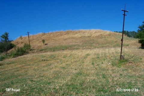 |
|
Type:
|
Mound |
|
Altitude:
|
640 m |
|
Region:
|
Marmara |
|
Province:
|
Bilecik |
|
District:
|
Bozüyük |
|
Village:
|
Kurtköy |
|
Investigation Method:
|
Survey |
|
Period:
|
EBA III |
|
|
|
 |
|
| It lies immediate northeast of Demirköy; 10 km north of Bozhüyük as the crow flies; south of Bilecik Province. It is a round mound; 9.5 m in height and 150 m in diameter. To the east lie modern buildings. Eastern part has been damaged which resulted in a section. It was discovered by J. Mellaart. Pottery of the EBA III; the Late Chalcolithic and the MBA-LBA was collected from the surface and the section formed [Lloyd-Mellaart 1965:76-77]. |
| Location: |
| Geography and Environment: |
| History: |
| Research and Excavation: |
| Stratigraphy: |
| Small Finds: |
| Remains: |
| Interpretation and Dating: |