|
©The Archaeological Settlements of Turkey - TAY Project
|
|
|
|
|
|
Degirmenlik Mevkii |
|
|
For site maps and drawings please click on the picture...  |
For photographs please click on the photo... 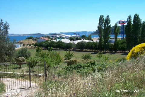 |
|
Type:
|
Flat Settlement |
|
Altitude:
|
14 m |
|
Region:
|
Marmara |
|
Province:
|
Çanakkale |
|
District:
|
Eceabat |
|
Village:
|
Yalova |
|
Investigation Method:
|
Survey |
|
Period:
|
Aceramic |
|
|
|
 |
|
| Location: This site lies north of the city of Çanakkale; 8 km northeast of the town of Eceabat and approximately 100 m south of the Akbas military cemetery. |
| Geography and Environment: It lies on a sheer cliff by the sea; on the southern side of the Eceabat-Gelibolu road. The area is named after a mill that was here previously. The finds were found in a 100x50 m area near the Dardanelles on the flanks of a large stone outcrop facing away from the sea. The survey code of the site is H 2 / 12. |
| History: |
| Research and Excavation: The site was discovered by M. Özdogan during his 1982 survey of this area. It takes place in the registered archaeological sites list prepared by Ministry of Culture and Tourism. |
| Stratigraphy: |
| Small Finds: Chipped Stone: The preferred raw material appears to be flint pebbles although obsidian is occasionally used. Among the finds are micro blades; rounded scrapers and a few microlith tools. |
| Remains: |
| Interpretation and Dating: Chipped stone tool finds similar to the ones from the site of Degirmenlik Tepe were collected from the mound sites of Kaynarca and Karaagaç on the Gelibolu Peninsula (see the sites of Kaynarca and Karaagaç in this volume). Özdogan notes that the transition to the Aceramic Neolithic from the Epipalaeolithic in the Gelibolu Peninsula is typical of the eastern part of the Marmara Region. The chipped stone industry at Degirmenlik Mevkii is similar to the local Marmara Epipalaeolithic industry. Therefore; the site has been assigned to the Epipalaeolithic-Aceramic Neolithic Periods. |