|
©The Archaeological Settlements of Turkey - TAY Project
|
|
|
|
|
|
Degirmenetegi Mevkii |
|
|
For site maps and drawings please click on the picture...  |
For photographs please click on the photo... 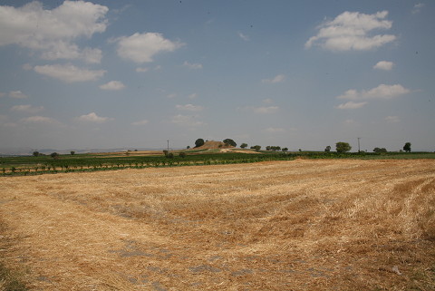 |
|
Type:
|
Mound |
|
Altitude:
|
100 m |
|
Region:
|
Marmara |
|
Province:
|
Balikesir |
|
District:
|
Altieylül |
|
Village:
|
Aslihan |
|
Investigation Method:
|
Survey |
|
Period:
|
|
|
|
|
 |
|
| It lies 2.5 km south of Aslihan Village; southeast of Balikesir Province. It was discovered during the Balikesir Survey conducted by M. Özdogan in 1987 (Coded under K 9/ 11). EBA material was collected from the surface. It has been damaged due to terracing. It was found that the environs of the mound contained a large amount of silex and some light colored sherds during TAYEx Bizans Marmara 2008. It was visited during the survey conducted by D. Yalçikli and his team in 2015 [Yalçikli 2017:419]. |
| Location: |
| Geography and Environment: |
| History: |
| Research and Excavation: |
| Stratigraphy: |
| Small Finds: |
| Remains: |
| Interpretation and Dating: |