|
©The Archaeological Settlements of Turkey - TAY Project
|
|
|
|
|
|
Dedetepe |
|
|
For site maps and drawings please click on the picture...  |
For photographs please click on the photo... 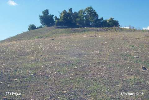 |
|
Type:
|
Mound |
|
Altitude:
|
80 m |
|
Region:
|
Black Sea |
|
Province:
|
Samsun |
|
District:
|
Alaçam |
|
Village:
|
Yenice |
|
Investigation Method:
|
Survey |
|
Period:
|
|
|
|
|
 |
|
| It is located northwest of the village of Yenice; on the southern side of Samsun-Sinop motorway; 19.5 km northwest of the district of Bafra in the province of Samsun. It is a high settlement covered with trees. It takes place in the registered archaeological sites list prepared by Ministry of Culture and Tourism. It is stated in Samsun Culture Inventory that the mound is 60x35 m in dimension and 10 m in height. |
| Location: |
| Geography and Environment: |
| History: |
| Research and Excavation: |
| Stratigraphy: |
| Small Finds: |
| Remains: |
| Interpretation and Dating: |