|
©The Archaeological Settlements of Turkey - TAY Project
|
|
|
|
|
|
Dedekuyusu / Destepe |
|
|
For site maps and drawings please click on the picture...  |
For photographs please click on the photo... 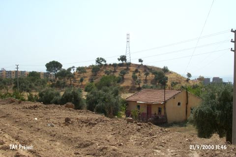 |
|
Type:
|
Mound |
|
Altitude:
|
90 m |
|
Region:
|
Aegean |
|
Province:
|
Aydin |
|
District:
|
Merkez |
|
Village:
|
Mesrutiyet |
|
Investigation Method:
|
Survey |
|
Period:
|
Late |
|
|
|
 |
|
| The ovoid mound; 10 m high above the level of the plain; is located 1.5 km west of the city of Aydin. The mound lies in the north-south direction and its north and northeast is covered by trees. It is located in the modern settlement. It was discovered by J. Mellart and revisited by E. Akdeniz in 1995 and S. Günel in 2001. The site is slightly damaged because of the construction of a road. It was named after the closest well. Late Chalcolithic potsherds were encountered in Mellaart; Tül; Akdeniz; and Günel's works. Late Chalcolithic Age; EBA; MBA-LBA and Byzantine-Ottoman Period potsherds were collected from the surface. It takes place in the registered archaeological sites list prepared by Ministry of Culture and Tourism. |
| Location: |
| Geography and Environment: |
| History: |
| Research and Excavation: |
| Stratigraphy: |
| Small Finds: |
| Remains: |
| Interpretation and Dating: |