|
©The Archaeological Settlements of Turkey - TAY Project
|
|
|
|
|
|
Çürücüin |
|
|
For site maps and drawings please click on the picture... 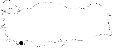 |
For photographs please click on the photo...  |
|
Type:
|
Rock Shelter |
|
Altitude:
|
m |
|
Region:
|
Mediterranean |
|
Province:
|
Antalya |
|
District:
|
Finike |
|
Village:
|
Yalnizköy |
|
Investigation Method:
|
Excavation |
|
Period:
|
OP |
|
|
|
 |
|
| Location: This rock-shelter site is located southwest of the city of Antalya; approximately 16 km north of the town of Finike; near the village of Yalnizköy and immediately east of the Finike-Elmali highway. |
| Geography and Environment: The rock-shelter is not far from the Basgöz Stream. The region is very mountainous. |
| History: |
| Research and Excavation: This rock-shelter was discovered by Enver Bostanci in 1956. Because chipped stone tools were on the shelter floor; a 1.5x2 m test trench was opened by the entrance. The trenches were excavated to about 1.5 m below the surface. Detailed descriptions of the strata are lacking although it is reported that the top 110 cm was a mixed fill deposit and that the layer below yielded prehistoric pottery fragments. No Palaeolithic remains were found during the excavation; although there is no indication that virgin soil or bedrock was reached. |
| Stratigraphy: |
| Small Finds: Bostanci believes these surface finds have Moustérien characteristics. It is interesting that the excavation did not yield further Palaeolithic material culture. This researcher hopes to excavate the upper terrace and the other areas around the rock-shelter to find the Palaeolithic cultural deposits. |
| Remains: |
| Interpretation and Dating: |