|
©The Archaeological Settlements of Turkey - TAY Project
|
|
|
|
|
|
Çuvalli |
|
|
For site maps and drawings please click on the picture...  |
For photographs please click on the photo... 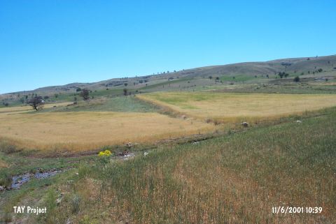 |
|
Type:
|
Mound |
|
Altitude:
|
1090 m |
|
Region:
|
Mediterranean |
|
Province:
|
Burdur |
|
District:
|
Yesilova |
|
Village:
|
Çuvalli |
|
Investigation Method:
|
Survey |
|
Period:
|
|
|
|
|
 |
|
| It lies on the top hill and foothill of Asartepesi at Samik Pinari Mevkii; 3 km northwest of Çuvalli Village; northeast of Burdur Province. It stands on a high rock located 80 m northeast of Samik Pinari It was discovered by J. Mellaart and investigated by M. Özsait in 1982. Largely red burnished; washed pottery dating from the EBA were collected from the surface. Also found is pottery of the Roman Period scattered widely around. |
| Location: |
| Geography and Environment: |
| History: |
| Research and Excavation: |
| Stratigraphy: |
| Small Finds: |
| Remains: |
| Interpretation and Dating: |