|
©The Archaeological Settlements of Turkey - TAY Project
|
|
|
|
|
|
Akçahisar |
|
|
For site maps and drawings please click on the picture...  |
For photographs please click on the photo... 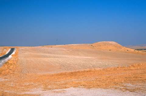 |
|
Type:
|
Mound |
|
Altitude:
|
600 m |
|
Region:
|
Southeastern Anatolia |
|
Province:
|
Sanliurfa |
|
District:
|
Merkez |
|
Village:
|
Büyük Ördek |
|
Investigation Method:
|
Survey |
|
Period:
|
|
|
|
|
 |
|
| The mound lies northwest of Sanliurfa; east of Bozova and 2.3 km east of Büyük Ördek village. It is above a terrace of Incesu Stream. The mound was discovered by H. Kuhne in 1978 during his survey along the Incesu valley. It is locally called Gri Esk / Kurutepe. The mound is terraced on the southwest. The collected finds from the surface date back to the Chalcolithic Age; EBA; MBA; LBA; IA; Byzantine and Islamic periods; but the ware characteristics were not specified. The mound was named as Akçahisar because of the remains of a castle on the top of the settlement. Akçahisar will not be inundated by Atatürk Dam. |
| Location: |
| Geography and Environment: |
| History: |
| Research and Excavation: |
| Stratigraphy: |
| Small Finds: |
| Remains: |
| Interpretation and Dating: |