|
©The Archaeological Settlements of Turkey - TAY Project
|
|
|
|
|
|
Çimentepe |
|
|
For site maps and drawings please click on the picture...  |
For photographs please click on the photo... 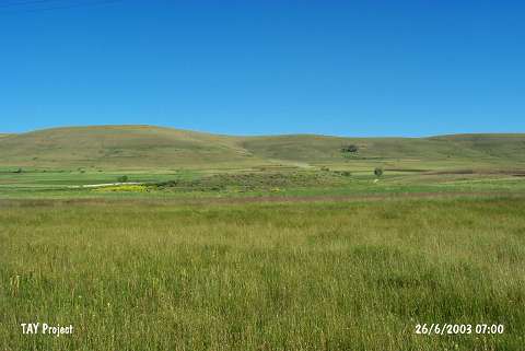 |
|
Type:
|
Mound |
|
Altitude:
|
1840 m |
|
Region:
|
Black Sea |
|
Province:
|
Bayburt |
|
District:
|
Gökçedere |
|
Village:
|
Çimentepe |
|
Investigation Method:
|
Survey |
|
Period:
|
|
|
|
|
 |
|
| It lies 400 northeast of the village of Çimentepe; west of Bayburt Province. Eastern part is 10 m higher than the plain level. It measures 160x130 m in dimensions. It was discovered during the Bayburt Survey conducted by A. Sagona in 1991. Samples of the pottery belonging to the third millennium BC; and Early Transcaucasian type were recovered [Sagona 1993:262; photo at fig. 5]. Also two sherds dating from the Iron Age were found. |
| Location: |
| Geography and Environment: |
| History: |
| Research and Excavation: |
| Stratigraphy: |
| Small Finds: |
| Remains: |
| Interpretation and Dating: |