|
©The Archaeological Settlements of Turkey - TAY Project
|
|
|
|
|
|
Çiftliksarica |
|
|
For site maps and drawings please click on the picture...  |
For photographs please click on the photo... 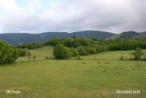 |
|
Type:
|
Upland Settlement |
|
Altitude:
|
1270 m |
|
Region:
|
Black Sea |
|
Province:
|
Ordu |
|
District:
|
Mesudiye |
|
Village:
|
Çitliksarica |
|
Investigation Method:
|
Survey |
|
Period:
|
|
|
|
|
 |
|
| The site; discovered by M. Özsait; lies southwest of Ordu; south of Çiftliksarica village; which is 4 km south of Mesudiye; 200 m west of Mesudiye-Koyulhisar road; in Güllüyazi Mevkii. The settlement is on a high; natural hill. A little amount of Chalcolithic Age vessels were found. The majority of the surface finds are the EBA vessels. |
| Location: |
| Geography and Environment: |
| History: |
| Research and Excavation: |
| Stratigraphy: |
| Small Finds: |
| Remains: |
| Interpretation and Dating: |