|
©The Archaeological Settlements of Turkey - TAY Project
|
|
|
|
|
|
Çigirtkankaya |
|
|
For site maps and drawings please click on the picture... 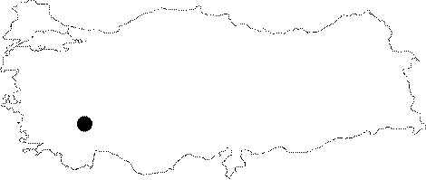 |
For photographs please click on the photo... 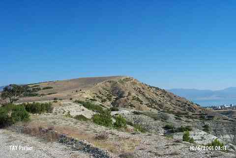 |
|
Type:
|
Flat Settlement |
|
Altitude:
|
970 m |
|
Region:
|
Mediterranean |
|
Province:
|
Burdur |
|
District:
|
Merkez |
|
Village:
|
Suludere |
|
Investigation Method:
|
Survey |
|
Period:
|
Ceramic |
|
|
|
 |
|
| This site lies 12 km southwest of the city of Burdur; east of the Burdur-Tefenni highway and in the pastures of the village of Suludere. The open-air site lies on a natural hill 144 m above the level of the plain and 190 m above the Burdur Lake level. The extent of the site is 600 m east-west and 200 m north-south. It was discovered by M. Özsait in 1974. While survey on the hill yielded historical remains; Early Chalcolithic finds were collected in the part of the site extending to the village of Suludere. The ceramics include fine grained grit tempered buff and red painted ware. Özsait suggests that the thin walled; high flaring forms with pierced lugs may date to the Late Neolithic Period. |
| Location: |
| Geography and Environment: |
| History: |
| Research and Excavation: |
| Stratigraphy: |
| Small Finds: |
| Remains: |
| Interpretation and Dating: |