|
©The Archaeological Settlements of Turkey - TAY Project
|
|
|
|
|
|
Çes Tepesi |
|
|
For site maps and drawings please click on the picture...  |
For photographs please click on the photo... 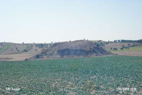 |
|
Type:
|
Slope Settlement |
|
Altitude:
|
860 m |
|
Region:
|
Black Sea |
|
Province:
|
Samsun |
|
District:
|
Havza |
|
Village:
|
Kuskonagi |
|
Investigation Method:
|
Survey |
|
Period:
|
|
|
|
|
 |
|
| It lies 1.9 km southwest of Kuskonagi Village; north of Havza District of Samsun Province. There is a pond for watering nearby the hill where the settlement locates on. Southwest of the hill flows the stream of Kaya Deresi and south passes the road to village. It was discovered by U.B. Alkim and dated to EBA. |
| Location: |
| Geography and Environment: |
| History: |
| Research and Excavation: |
| Stratigraphy: |
| Small Finds: |
| Remains: |
| Interpretation and Dating: |