|
©The Archaeological Settlements of Turkey - TAY Project
|
|
|
|
|
|
Çerkes Çukurhisar 1 |
|
|
For site maps and drawings please click on the picture...  |
For photographs please click on the photo... 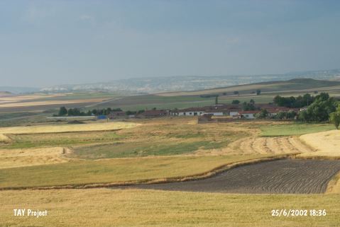 |
|
Type:
|
Mound |
|
Altitude:
|
775 m |
|
Region:
|
Central Anatolia |
|
Province:
|
Eskisehir |
|
District:
|
Alpu |
|
Village:
|
Çukurhisar |
|
Investigation Method:
|
Survey |
|
Period:
|
|
|
|
|
 |
|
| It lies approximately 100 m southwest of Çukurhisar Village; north of Alpu District of Eskisehir Province. There is a survey point on top of the mound. West of it military zone takes place and to the north lies the site of Çerkes Çukurhisar 1. The site was discovered by C. A. Burney and researched again by D. French. It was dated to EBA. |
| Location: |
| Geography and Environment: |
| History: |
| Research and Excavation: |
| Stratigraphy: |
| Small Finds: |
| Remains: |
| Interpretation and Dating: |