|
©The Archaeological Settlements of Turkey - TAY Project
|
|
|
|
|
|
Çebikçil Höyük |
|
|
For site maps and drawings please click on the picture...  |
For photographs please click on the photo... 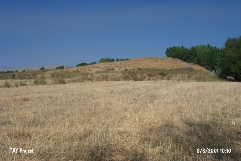 |
|
Type:
|
Mound |
|
Altitude:
|
1200 m |
|
Region:
|
Eastern Anatolia |
|
Province:
|
Kahramanmaras |
|
District:
|
Afsin |
|
Village:
|
Karagöz |
|
Investigation Method:
|
Survey |
|
Period:
|
|
|
|
|
 |
|
| It lies northeast of Afsin District; north of Kahramanmaras Province. It is adjacent to Koskayasi Village; 1.5 km east of Tedevin Village. It is situated on the western bank of the Hurman Suyu. It is a round mound. It measures 8 m in height and 70x80 m in diameter. A heavy cultivation is still going on it. It was documented as Tedevin Höyük by von der Osten due to its closeness to this village. Materials recovered during surface collection were analyzed by G. H. Brown. Mottled and black rimmed ware out of those materials was identified as EBA. The mound was revisited by Konyar and his team in 2010. EBA dark-faced wares have been collected from the surface [Konyar et al. 2012:37]. |
| Location: |
| Geography and Environment: |
| History: |
| Research and Excavation: |
| Stratigraphy: |
| Small Finds: |
| Remains: |
| Interpretation and Dating: |