|
©The Archaeological Settlements of Turkey - TAY Project
|
|
|
|
|
|
Çebikçil Höyük |
|
|
For site maps and drawings please click on the picture...  |
For photographs please click on the photo... 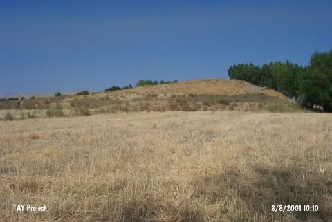 |
|
Type:
|
Mound |
|
Altitude:
|
1200 m |
|
Region:
|
Eastern Anatolia |
|
Province:
|
Kahramanmaras |
|
District:
|
Afsin |
|
Village:
|
Karagöz |
|
Investigation Method:
|
Survey |
|
Period:
|
Late |
|
|
|
 |
|
| The mound with a round cone; 8 m in height and 70x80 m in area; lies at the southern bank of Hurma Stream; south of Kuskayasi Village; 1.5 km east of Karagöz (Tedevin) Village; west-northwest of Elbistan District; north of the city of Kahramanmaras. The site was discovered by G.H. Brown in 1962. Ceramics of dark-faced burnished ware were collected from the surface. They were flint-scraped. Von der Osten named the site as Tedevin Höyük. The mound dates to the 8/9th phases in ASPRO and is contemporary with Amuq E-F Phases. In addition; there is a small EBA settlement at the site. |
| Location: |
| Geography and Environment: |
| History: |
| Research and Excavation: |
| Stratigraphy: |
| Small Finds: |
| Remains: |
| Interpretation and Dating: |