|
©The Archaeological Settlements of Turkey - TAY Project
|
|
|
|
|
|
Çayirlik |
|
|
For site maps and drawings please click on the picture...  |
For photographs please click on the photo... 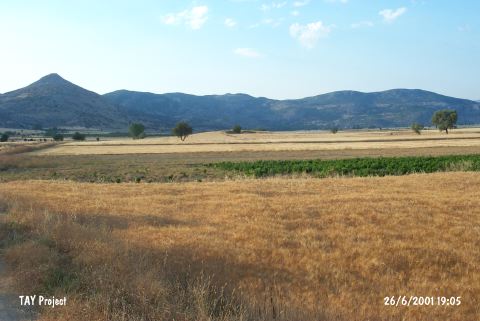 |
|
Type:
|
Mound |
|
Altitude:
|
770 m |
|
Region:
|
Mediterranean |
|
Province:
|
Burdur |
|
District:
|
Bucak |
|
Village:
|
Incirdere |
|
Investigation Method:
|
Survey |
|
Period:
|
|
|
|
|
 |
|
| It lies on the foothill of the Ardiçli Tepe; 3 km south of Incirdere Village; west of Bucak District; southeast of Burdur Province. It has been cultivated. It measures 150x100 m in dimensions. It was discovered in 1984 by M. Özsait. Red colored EBA and Roman Period pottery was collected from the surface. It takes place in the registered archaeological sites list prepared by Ministry of Culture and Tourism. |
| Location: |
| Geography and Environment: |
| History: |
| Research and Excavation: |
| Stratigraphy: |
| Small Finds: |
| Remains: |
| Interpretation and Dating: |