|
©The Archaeological Settlements of Turkey - TAY Project
|
|
|
|
|
|
Çayir Höyük |
|
|
For site maps and drawings please click on the picture...  |
For photographs please click on the photo... 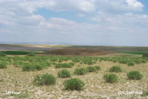 |
|
Type:
|
Mound |
|
Altitude:
|
880 m |
|
Region:
|
Central Anatolia |
|
Province:
|
Eskisehir |
|
District:
|
Çifteler |
|
Village:
|
Hayriye |
|
Investigation Method:
|
Survey |
|
Period:
|
EBA II EBA III |
|
|
|
 |
|
| It lies 3 km northeast of Hayriye Village; northwest of Çifteler District; southeast of Eskisehir Province. 50 m west; Bardakçi Stream passes by. It was discovered during the Kütahya; Bilecik and Eskisehir survey conducted by T. Efe in 1994. It measures 8 m in height and 140 m in diameter. Materials of the EBA II-III; the second millennium BC and the Classical Period were collected from the surface. |
| Location: |
| Geography and Environment: |
| History: |
| Research and Excavation: |
| Stratigraphy: |
| Small Finds: |
| Remains: |
| Interpretation and Dating: |