|
©The Archaeological Settlements of Turkey - TAY Project
|
|
|
|
|
|
Çavundur |
|
|
For site maps and drawings please click on the picture...  |
For photographs please click on the photo... 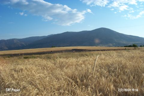 |
|
Type:
|
Mound |
|
Altitude:
|
1080 m |
|
Region:
|
Mediterranean |
|
Province:
|
Isparta |
|
District:
|
Sarkikaraagaç |
|
Village:
|
Çavundur |
|
Investigation Method:
|
Survey |
|
Period:
|
EBA II |
|
|
|
 |
|
| It lies 600 m west-southwest of Sarkikaraagaç District; northeast of Isparta Province. It was discovered by J. Mellaart. The sherds collected from the surface are comparable with the finds of the Gençali EBA II ware. It takes place in the registered archaeological sites list prepared by Ministry of Culture and Tourism. |
| Location: |
| Geography and Environment: |
| History: |
| Research and Excavation: |
| Stratigraphy: |
| Small Finds: |
| Remains: |
| Interpretation and Dating: |