|
©The Archaeological Settlements of Turkey - TAY Project
|
|
|
|
|
|
Çavdir |
|
|
For site maps and drawings please click on the picture... 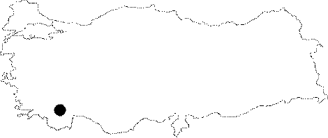 |
For photographs please click on the photo... 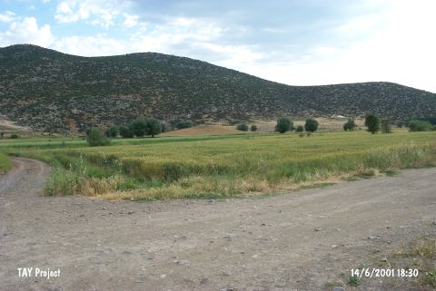 |
|
Type:
|
Mound |
|
Altitude:
|
1100 m |
|
Region:
|
Mediterranean |
|
Province:
|
Burdur |
|
District:
|
Çavdir |
|
Village:
|
Merkez |
|
Investigation Method:
|
Survey |
|
Period:
|
Early Late |
|
|
|
 |
|
| The mound; 8 m in height and 200x100 in area; lies southwest of the city of Burdur; 2 km southwest of Çavdir; in Çiftlik Mevkii. According to J. Mellaart; the site is a Late Chalcolithic Age settlement. On the contrary; M. Özsait; who made a research in 1989; claims that Çavdir dates to the LNA-ECA depending on the monochrome ceramics. However; the mound measures 8 m in height and 70x100 m in area according to M. Özsait. It takes place in the registered archaeological sites list prepared by Ministry of Culture and Tourism. |
| Location: |
| Geography and Environment: |
| History: |
| Research and Excavation: |
| Stratigraphy: |
| Small Finds: |
| Remains: |
| Interpretation and Dating: |