|
©The Archaeological Settlements of Turkey - TAY Project
|
|
|
|
|
|
Çataltepe |
|
|
For site maps and drawings please click on the picture...  |
For photographs please click on the photo... 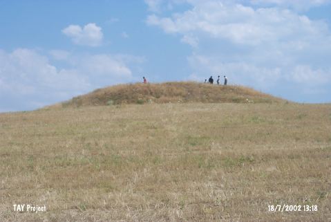 |
|
Type:
|
Upland Settlement |
|
Altitude:
|
645 m |
|
Region:
|
Central Anatolia |
|
Province:
|
Çorum |
|
District:
|
Ugurludag |
|
Village:
|
Üçdam |
|
Investigation Method:
|
Survey |
|
Period:
|
|
|
|
|
 |
|
| It is located in Aci Mevkii; 2 km south of Çagil Tepe; 3.5 km south of Üçdam Village; west of Çorum Province. It stands on a natural hill. It measures 75x150 m in dimensions. The area is locally called Aci Mevkii. The western part of the hill has an inclination towards the road. The eastern part lowers steeply towards the stream. It was discovered by T. Sipahi and T. Yildirim in 1996. Sherds are dense in the southern part of the hill. They are dated to the EBA by the researchers. Also; a broken bull figurine was recovered from the surface. It is located next to a valley extending to the Kizilirmak River. |
| Location: |
| Geography and Environment: |
| History: |
| Research and Excavation: |
| Stratigraphy: |
| Small Finds: |
| Remains: |
| Interpretation and Dating: |