|
©The Archaeological Settlements of Turkey - TAY Project
|
|
|
|
|
|
Çataltepe |
|
|
For site maps and drawings please click on the picture...  |
For photographs please click on the photo... 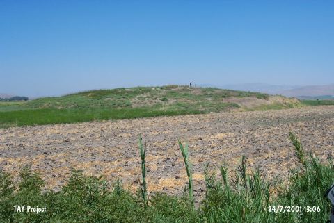 |
|
Type:
|
Mound |
|
Altitude:
|
100 m |
|
Region:
|
Mediterranean |
|
Province:
|
Hatay |
|
District:
|
Kirikhan |
|
Village:
|
Çataltepe |
|
Investigation Method:
|
Survey |
|
Period:
|
EBA II |
|
|
|
 |
|
| It lies 1.5 km north of Çataltepe Village; east-northeast of Kirkhan District of Hatay Province. It is situated in an alluvial conveyed by the Murat Pasa Stream. It is a medium size mound. It was discovered in 1936. The material recovered was investigated by R. Braidwood and interpreted that the first settlement is datable to the EBA. It also houses the settlements of the second millennium BC and the Hellenistic Period. |
| Location: |
| Geography and Environment: |
| History: |
| Research and Excavation: |
| Stratigraphy: |
| Small Finds: |
| Remains: |
| Interpretation and Dating: |